(Weiss Lake Specific)
158 messages
Updated 7/2/2022 8:26:17 PM
Lakes Online Forum
83,613 messages
Updated 5/6/2024 12:53:17 PM
Lakes Online Forum
5,193 messages
Updated 4/3/2024 3:47:36 AM
(Weiss Lake Specific)
34 messages
Updated 9/15/2015 12:41:07 PM
Lakes Online Forum
4,169 messages
Updated 4/15/2024 11:05:05 PM
Lakes Online Forum
4,260 messages
Updated 3/24/2024 9:24:45 AM
Lakes Online Forum
2,976 messages
Updated 3/20/2024 11:53:43 PM
Lakes Online Forum
98 messages
Updated 4/15/2024 1:00:58 AM
|
|
|
| Name: |
Tubewelder
- 
|
|
| Subject: |
water level sources
|
|
Date:
|
12/30/2015 9:36:18 AM
|
Apparently this forum does not allow you to post Links, Ive tried all morning.
So let's try this:
Google Alabama Power Shorelines and navagate to Weiss.
This site has quicker updates on levels.
I have another one that is on the National Weather Service site but it would be real hard to find without a link
|
| Name: |
thingamajig
-
|
|
| Subject: |
water level sources
|
|
Date:
|
12/30/2015 9:41:26 AM
|
thanks book marking these.... the sites conflict with their numbers though :(
bottom line is though, we have LOTS of water
|
| Name: |
Tubewelder
-
|
|
| Subject: |
water level sources
|
|
Date:
|
12/30/2015 10:14:20 AM
|
Try this:
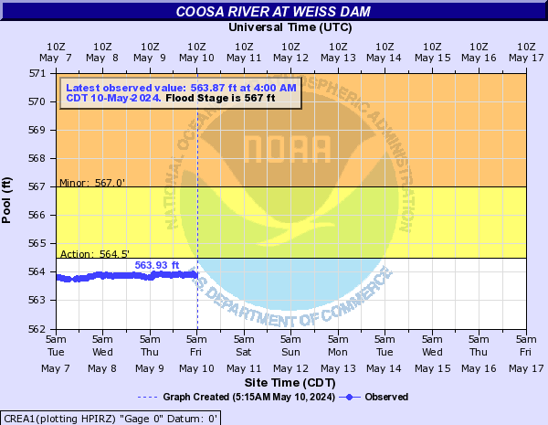
water.weather.gov/ahps2/hydrograph.php?wfo=bmx&gage=crea1
you may be able to copy and paste into your browser. This is the National Weather Service
good luck
|
| Name: |
dgibbs
-
|
|
| Subject: |
water level sources
|
|
Date:
|
12/31/2015 7:13:21 AM
|
|
| Name: |
thingamajig
-
|
|
| Subject: |
water level sources
|
|
Date:
|
12/31/2015 9:02:21 AM
|
thanks for posting... this gives us an idea when we will be able to get to our place.
|
|
|


 »
Alabama Lakes
»
Weiss Lake
»
Alabama Lakes
»
Weiss Lake
 Login
|
Login
|


